Oregon to Texas in Three Days Flat
A few weeks ago I flew up to Oregon to help my sister move back home. We spent three days covering over 2,000 miles and six states to do it. I’m on the road a lot for work and I’m on the road a lot for my own pleasure, so this was something I had been looking forward to for a while. (First, my deepest apology to Angela for making this drive instead of her, she would have done it if she could have taken the time from work. Also my dad really wanted to do it too, sorry dad.) This post is made up of the images I made on that trip, where we were when I made them, and other stuff. This post is intended for family.

Mt. Rainier on decent to Seattle International Airport.


A brief note on gear: We gave ourselves four days to get the trip done in case of emergency, but we wanted it done in three. I intentionally left out equipment that would have slowed us down. I did bring a tripod and cable release. My canon body with a 24-105mm and 14mm lenses and my fuji with a 23mm lens made the cut. I didn’t bring filters or any other of my usual landscape kit. I did not (since several people have asked me) bring a drone. To fly safely takes time and planning we didn’t have it to spare. I also left my field recorder and microphones at home (though I really wanted it in the mountains).
I met my sister at our aunt and uncle’s house in Albany, Oregon. She flew me to Eugene via Seattle and we spent the night with family before heading out. I would have loved to spend a few hours poking around Seattle but we couldn’t make the trip work before she had to be out of her place.
My uncle is into trains in a big way. I remember a lot of this stuff from visits to their old house when I was a kid. They are relatively new to the Pacific Northwest. The trees you see below are right in their back yard and the flowers are in their neighborhood. Albany seems nice, but we only had time donuts and coffee before hitting the road in the morning.
Note: I have a few more photos of the people I got to see in Albany but they don’t need to be on the open internet. Family can see them here. The password is the name of the cousin that I didn’t get to see when I was there.


I’ve always wanted to spend time in the Pacific Northwest, so crossing the Cascades was probably the best part of the trip for me. I certainly stopped the car more on this stretch than any other. We took 20 out of Albany over the mountains and through the Middle Santiam Wilderness, coming down between Three Finger Jack and Mt. Washington before stopping in Sisters. Foster Reservoir is the first body of water in that set. Then you can follow our progress up over the mountains and down to Suttle Lake on the other side.


Music across the mountains was mostly Lord Huron and Iron and Wine so it was cool to see that poster as soon as we got out of the car. If you ever find yourself in the area, Sisters Coffee Company is worth a stop. So is Paulina Springs Books across the street.
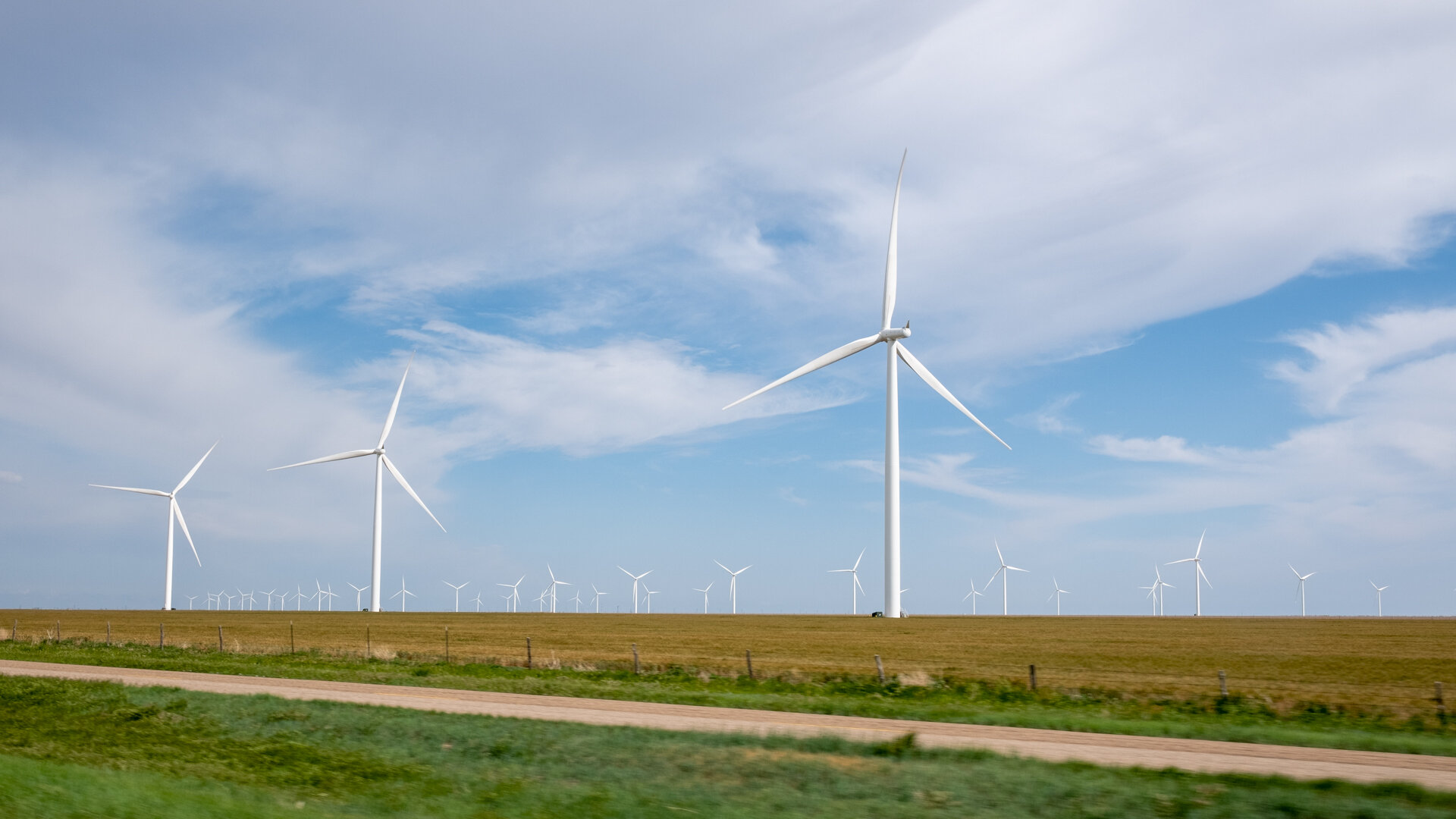
After lunch, we kept east on 20 through Bend, and then across the Oregon Badlands Wilderness, an area of high desert that just reminded us of the Big Bend. The river you see is the Malheur River. We stopped for coffee one more time in Ontario, OR, before crossing the border into Idaho. The last three images in this set are along 84 east of Boise. We drove down a service road behind a truck stop set to look like an old stage coach stop to catch the sun going down. We would have stopped for images of the night sky if we could have seen it through the clouds.


We slept in Twin Falls, Idaho that night, grabbed coffee from Full Steam Espresso the next morning (Side note: probably the best coffee on the trip, served by a dude blasting french music. Well worth the stop.) And headed toward Salt Lake City. We stopped a few times just after crossing into Utah to look around. (Music through Northern Utah was all Radiohead. Just seemed fitting.)


On HW 15 south we caught a glimpse of the Great Salt Lake from the road (actually I think it was a reservoir). I wanted to get a shot of it but the rain off and on since crossing into Utah had slowed us down quite a bit.
We did stop in Provo for gas and more coffee, which had a nice view of the Wasatch Mountains (the western edge of the Rocky Mountains).


We followed Route 6 over the Wasatch Range and down through Price into the Colorado Plateau. The high traffic and pouring rain kept us in the car. You can see the final decent in the last image of the set below.


The rain let up as we drove through the Colorado Plateau but the wind just about blew us off the road more than once. Most of these were made at a rest stop right before the turn south toward Moab. Plenty of signs warning you not to stop during dust storms, and you can see some coming in in that last frame.


Moab was crowded. We grabbed lunch at a place called Milt’s Stop N Eat before checking out a book store and an art gallery. The town reminded me a lot of Jackson Hole, lots of tourists and tourist stuff to do being so close to so many national parks. Just more recreational vehicles, which I guess are street legal there. I’m a sucker for street art of any kind, especially stickers, and the more obscure the better. So that part of it just felt like Austin.
After loading up on art and coffee we hit the road again.


We both wanted to hike in the Cascades and here around Moab but we just didn’t have the time. Until we saw the Wilson Arch. It was right by the road so….we stopped.
I set a timer for 30 minutes and we went for a short hike up to the arch. It made this part of the trip easier to get though. It sucked passing all this and not being able to get out and see any of it up close.
A few other people stopped while we were there and one of them was nice enough to take our picture (there you go, mom and dad), you can even see the hat I got in Sisters.
(Oh and to everyone who felt the need to carve or paint something on this piece of stand stone in a desert, fuck you.)


Ok for real back on the road now. We cut across the southwestern corner of Colorado and into New Mexico. We stopped once outside of Cortez, CO to get a look east toward the San Juan National Forest and Mt. Wilson. The clouds kept obscuring it was we went (first two frames below). We passed through the Ute Mountain Reservation as the sun was setting, and as we had to be in Santa Fe for the night, we did not stop. These last two frames of Chimney Rock are from the car. We crossed into New Mexico and stopped for gas in Shiprock as the sun set, then went straight to Santa Fe before stopping for the night.


Yes we know, Santa Fe is not strictly on the way home. We could have stopped in Albuquerque. We just wanted to stop in Santa Fe. After breakfast with a friend and a stop for Whoo's Donuts to bring home (the blue corn lavender donut is f@&%*$ divine by the way), we also hit a book store, a teahouse, and I think a chocolate place, and of course getting coffee before hitting the road, and after a stretch of bad weather that included heavy hail we turned east for Amarillo.


This frame was made shortly after crossing into the Texas panhandle. And of course we still had 7 hours to go before getting home. And we just wanted to get there. 287 has a bunch of nice small towns, all of which had coffee shops that were closed for the night expect for Clarendon, which we reached just as they were about to pour out what they had left and close up, which was where these last two frames were made. After that the train closed in again and we just powered though until we got home, just after midnight.


Our route from Albany to Ft. Worth.